Precision Geospatial Data. Trusted Offshore Results.

For the marine, energy, and offshore industries

Wonder Geoservices is a geospatial solutions consultancy,
delivering mission-critical data solutions across global
marine and positioning projects.

Technical & Mobilisation Support Dimension Control Services Data Processing & Reporting Spatial Data Management

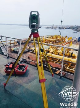
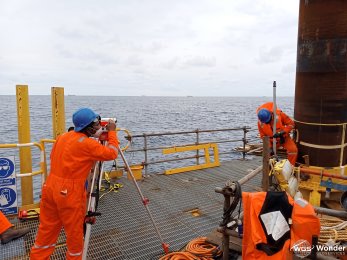
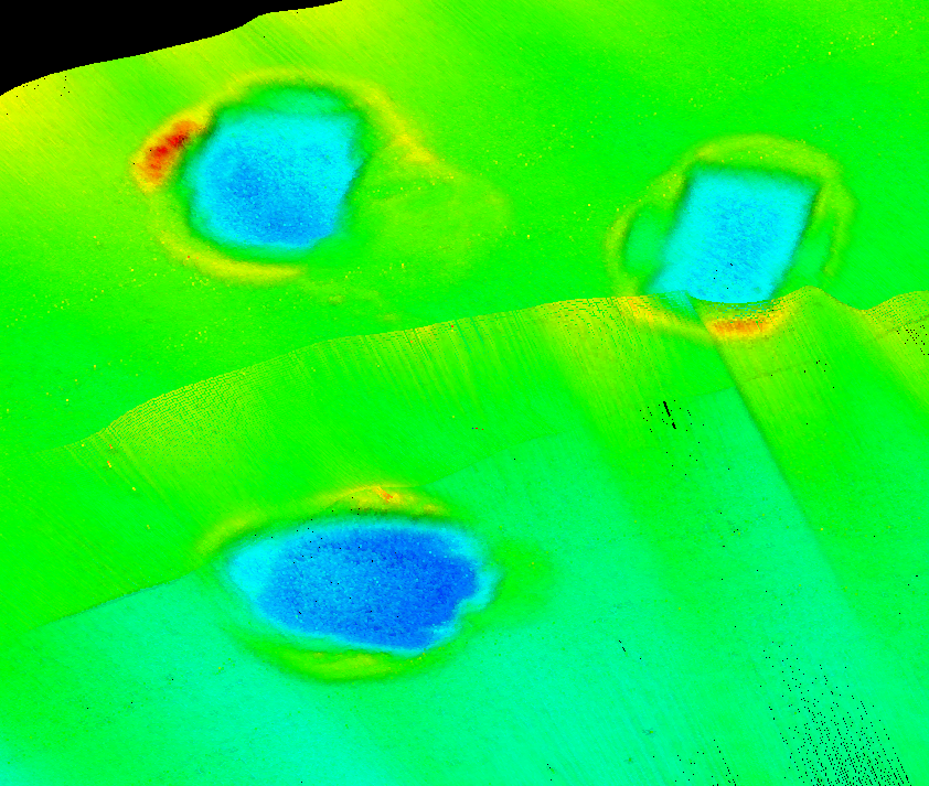
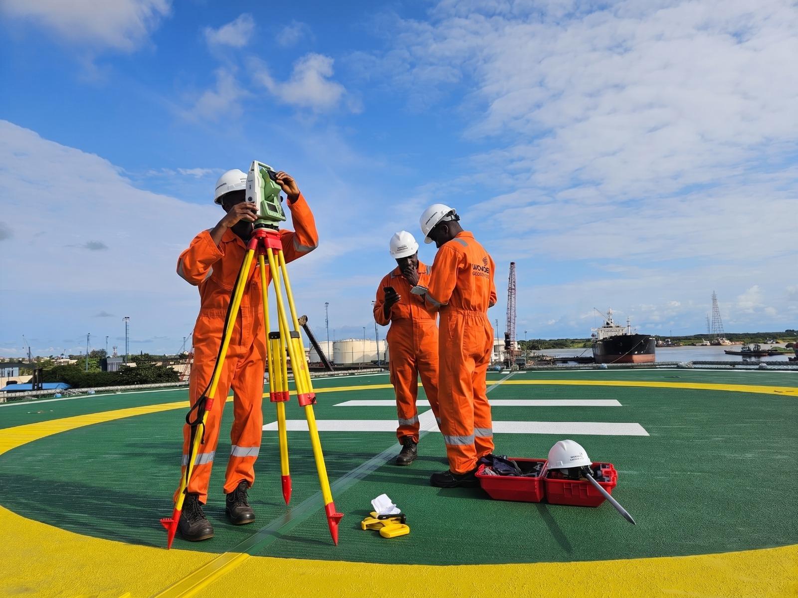
Wonder Geoservices is a geospatial solutions consultancy dedicated to delivering high-quality, reliable data solutions across a broad range of survey and positioning disciplines; including hydrographic, geophysical, land, and offshore projects.


Our team is committed to maintaining the highest industry standards, providing tailored solutions for every project. We support you whether you need real-time processing support, survey mobilisation, data validation, or delivery of final project deliverables.


We offer flexible support levels built to scale with your project; from one-off processing and reporting assignments to long-term technical partnerships across multiple survey disciplines.

Our Services

We provide a comprehensive range of geospatial and survey data services. These are available onboard or remote, spanning hydrographic, geophysical, dimensional control, and positioning disciplines to meet your exact project specifications.

Technical & Mobilisation Support

Expert technical and mobilisation support to ensure your survey operations run smoothly and efficiently.

  • Mobilisation support in person
  • System calibrations & verification
  • Live remote troubleshooting
WGS Technical and Mobilisation Support
Technical & Mobilisation Support
  • Mobilisation support in person
  • System calibrations & verification
  • Live remote troubleshooting
Dimension Control Services

Precision measurement and spatial verification for offshore structures, onshore installations, and construction projects.

  • Structural dimensional surveys
  • As-built verification
  • Construction phase monitoring
  • 3D scanning & modelling
WGS Offshore Dimension Control
Dimension Control Services
  • Structural dimensional surveys
  • As-built verification
  • Construction phase monitoring
  • 3D scanning & modelling
Data Processing & Reporting

Comprehensive geospatial and survey data processing onboard or remote, adhering to the highest industry standards.

  • Bathymetric data processing & analysis
  • Navigation processing (surface & subsea)
  • Sidescan & Sub Bottom processing & interpretation
  • Magnetometer data processing
  • Quality control & data validation
  • Deliverables management
WGS Offshore Dimension Control
Data Processing & Reporting
  • Bathymetric data processing & analysis
  • Navigation processing (surface & subsea)
  • Sidescan & Sub Bottom processing & interpretation
  • Magnetometer data processing
  • Quality control & data validation
  • Deliverables management
Spatial Data Management

Creation and maintenance of Seabed Survey Data Model (SSDM) systems; structured, standards-compliant data storage and accessibility.

  • SSDM database creation & configuration
  • Survey data ingestion & archival
  • GIS integration & spatial analysis

Software Proficiency

BeamworX
QINSy
EIVA NaviSuite
QGIS
CARIS HIPS & SIPS
ESRI ArcGIS
AutoCAD
Hypack
SonarWiz
MagPick
SeaView

Wonder Geoservices is comprised of senior geospatial and survey specialists with diverse technical backgrounds and a combined 25 years of experience delivering processing, reporting, and consultancy across land surveys, nautical charting, renewables, and cable route projects.

We are committed to delivering a high-quality, trusted service with complete transparency. Our approach offers an effective alternative to the freelance market, while delivering superior results backed by our extensive experience.

Oizamsi T.A
Geomatics Lead

A seasoned Offshore Geomatics professional with over 13 years of experience delivering survey and positioning support across offshore oil and gas operations. Extensive expertise spans offshore construction surveys, rig moves, pipeline installation support, ROV and AUV tracking, subsea asset inspections, geophysical seabed surveys, hydrographic operations, and precise positioning services. Experienced in leading geomatics operations from project mobilization and sensor calibration through data acquisition, quality assurance, and project delivery.

Kasim F.M
Survey Operations Lead

A highly experienced Offshore Geomatics professional with over 16 years of expertise in offshore survey and positioning operations across the oil and gas and marine sectors. Brings extensive experience in rig and JUB moves, offshore construction support, geophysical and geotechnical surveys, pipeline and cable lay operations, subsea installations, ROV and dive support, hydrographic surveys, and underwater acoustic positioning. Proven track record in leading multidisciplinary survey teams and delivering safe, accurate, and efficient survey operations.

Kingsley E.
Chief Geoscientist

A seasoned Offshore Survey and Geoscience professional with over 17 years of experience spanning marine geophysics, hydrographic surveying, offshore positioning, data processing, and survey operations support. Extensive expertise in geophysical site characterization, offshore construction support, acoustic positioning, hydrographic data processing, survey methodology development, and quality control. Proven experience leading survey teams and delivering accurate geospatial solutions throughout the full offshore project lifecycle.

Stay Connected

Follow Wonder Geoservices for the latest updates, project insights, and industry news.

Get In Touch →

Drop Us
a Line

Have a question, a project enquiry, or just want to know more about what we do? Fill in the form and we'll get back to you as soon as possible.

Nigeria